


By buying this product you can collect up to 36 Citimarine points. Your cart will total 36 points that will be converted into a voucher of $3.60 towards your next purchase! Must be logged in to collect points.
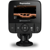
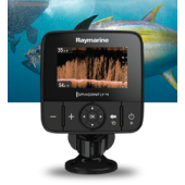
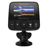
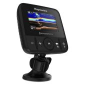
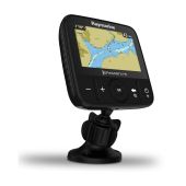
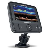
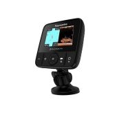
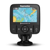
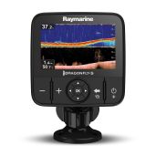
RAYMARINE DRAGONFLY 5M with Navionics+ charts. 5" All-weather, high-definition LED, optically-bonded display for sharp color, wide viewing angles & no internal fogging. No sonar. Precision guidance, 50-channel fast acquisition GPS sensor. Ball & socket tilt swivel mounts Dragonfly easily to any surface. Store up to 3000 waypoints & 15 tracks. E70295-NAG. Details below.
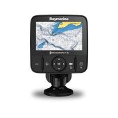
Dragonfly-5m 5" GPS Chart Plotter and North America Navionics + Cartography
Dragonfly 5M GPS. 5" GPS (no sonar) gets you on track with a fast 50-channel GPS and the super-easy Dragonfly user interface. With Dragonfly, there is no waiting for charts to load. A fast processor makes panning, zooming, and exploring maps simple and fun. Dragonfly's all-weather, high-definition color LCD display makes maps come to life and optical bonding protects the display from internal fogging.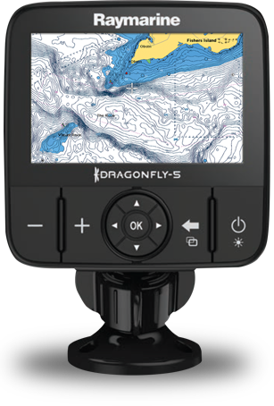
Navionics+ US Charts - RAY-E70295-NAG
Best-selling boating maps in the world. Navionics+ has max detailed charts for cruising, fishing and sailing! Get 1 ft/0.5 HD contours for marine areas and lakes all on one card. More than 18,000 lakes. Upload your sonar logs to build even better local charts for your area. Navionics charts are updated with around 2,000 edits per day.
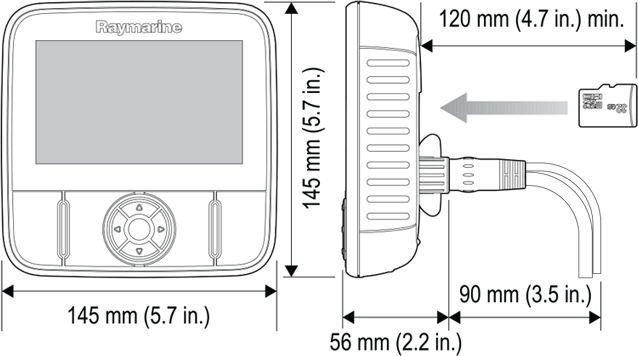
GENERAL SPECIFICATIONS
Nominal Supply Voltage 12 V DC
Operating Voltage Range 10.8 V DC to 15.6 V DC
Power Consumption At Full Brightness 2.9 W RMS
Connections Power input only
Display Size 5.0 in
Display Resolution 800 x 480 WVGA
Aspect Ratio 15:9
GPS & CARTOGRAPHY
GPS Channels 72 GPS / GLONASS Channels
Chart Compatibility Navionics Gold, Plus, Hotmaps and SonarChart
Waypoints 3,000 waypoints (split between up to 100 waypoint groups)
Tracks 15 tracks (each track can contain up to 10,000 points)
Chart Media MicroSD